|
Updated: @
31-Jul-2026 4:13pm
|
| Summary / Temperature |
Wind |
Rain |
Outlook |

|
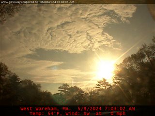
Partly cloudy
|

|
74.5°F

Comfortable
Feels like:
74°F
24-hr difference
37.8°F |
| |
Today |
Yesterday |
| High: |
79.5°F
1:43pm
|
69.4°F
5:46pm |
| Low: |
62.1°F
1:39am
|
63.9°F
11:48pm |
|
|


|
ESE
0
Gust:
0.9 mph
|
|
0 Bft -
Calm
|
|
Today:
8.1 mph
8:19am
|
|
Gust Month: 20.0 mph
July 07
|
|
| Rain Today: |
0 in
|
| Rain Rate (/hr): |
0 in
|
| Rain Yesterday: |
0.25 in
|
| This Month: |
5.81 in
|
| Season Total: |
21.75 in
|
|
Tonight

Partly Cloudy then Patchy Fog
|
|
| Humidity & Barometer |
Almanac |
Moon |
| Humidity: |
77 %
|
| Dew Point: |
66.7°F
|
| Barometer: |
29.92 inHg
|
| Baro Trend: |
Steady
|
|
| Sunrise: |
5:36am |
| Sunset: |
8:02pm |
| Moonset: |
7:30am |
| Moonrise: |
9:09pm |
|
|
Waning Gibbous |

|
95%
Illuminated |
|
| UV Index Forecast |
UV Index Forecast |
|
|
|
01-Aug-2026 |
|
8.0
Very High |
|